
My strategy nowadays is to identify an area with ten or twelve unclimbed Marilyns and to base myself there for a week, usually in a self-catering cottage. Despite having spent Easters near Fort William for the last 45 years, it is amazing that there still remain unclimbed hills within a reasonable range. I was able to add two actually visible from our base at Loch Eil caravan park (Meall an t-Slamain and Meall a'Bhainne). I had a particularly enjoyable day up the Cona Glen for Druim Leathad nam Fias, involving a fearsome river crossing on a cable bridge.
In May an excellent week based in St Fillans produced eleven new hills, including a memorable day on Ben Clach, despite MOD 'Keep Out' signs. Rain and low mist made this interesting, while minimising the chances of encountering the military. It was pleasing to visit Meall Buidhe from the pass at the head of Glen Ogle, passed so often when motoring north. This involved rough going with some awkward fences, as I was not aware of the big forestry track not shown on my map.
My October base was north of Merthyr Tydfil for a productive week of twelve new hills about the Welsh valleys. On my own the main problem was navigation in the car on busy roads to find obscure starting points for the walks. Probably the best day was from Sirhowy Valley country park, south to collect Mynydd Machen and an enjoyable excursion north on an excellent track toward Mynydd y Lan. Hardly exciting on top, but a good walk.
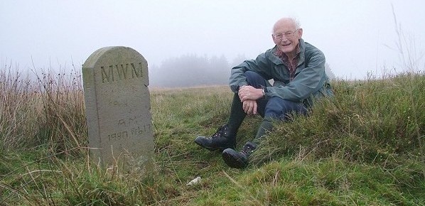
David Smith on the summit of Mynydd y Lan
Finally, December near Campbeltown in Kintyre gave me all the tops to the south of Tarbert. Very enjoyable, although rough going in places, with extensive forestry not helping. This highlighted the problem of Landranger maps. One sets off for a hill surrounded by forestry not knowing whether a way will be possible through the trees. On Sgreadan Hill I headed in from the forestry track to the south (in gale, rain and hail) and managed to work a fair line, with just 100 metres of tree bashing to gain the open moor. My last day on Beinn an Tuirc from Barr Glen was easy going, but it was annoying that an extensive wind farm was not shown on my recent map, nor the existence of a way-marked track up from the east. There was even a sign by the summit stating 'View Point'. Down at the Mull of Kintyre it was surprising to find few signs of people climbing Beinn na Lice; a fine viewpoint and only a short distance from the high car park. Quite rough going and little sign of any track being formed.
