
I did Mickle Fell (35A) in clear visibility and do not think that the grid ref of 804243 can be correct. As far as I could tell the cairn marked on the map is the summit and that is between 805245 and 806246 (I would go for 806245 myself). I paced it back to the boundary fence and found it to be 640 paces which I would have estimated to be about 600 yards which is the distance (550 metres) on the map between the boundary fence and the cairn.
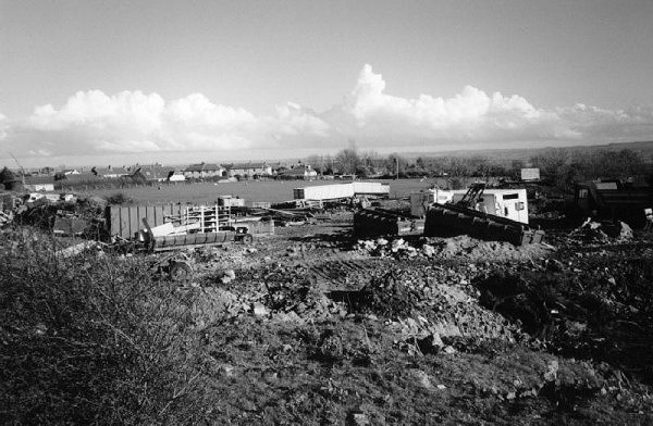
The summit of Dundry Down, complete with quarry, rubbish tip, bog and smell
